JACKSONVILLE, Fla. — To become a part of the First Alert Neighborhood weather station network powered by Tempest - scan below &/or click * here *:

Updated every day throughout the hurricane season - “Talking the Tropics With Mike”.
The “Buresh Blog” will take a week off, so the next new post will be the week of Oct. 27th.
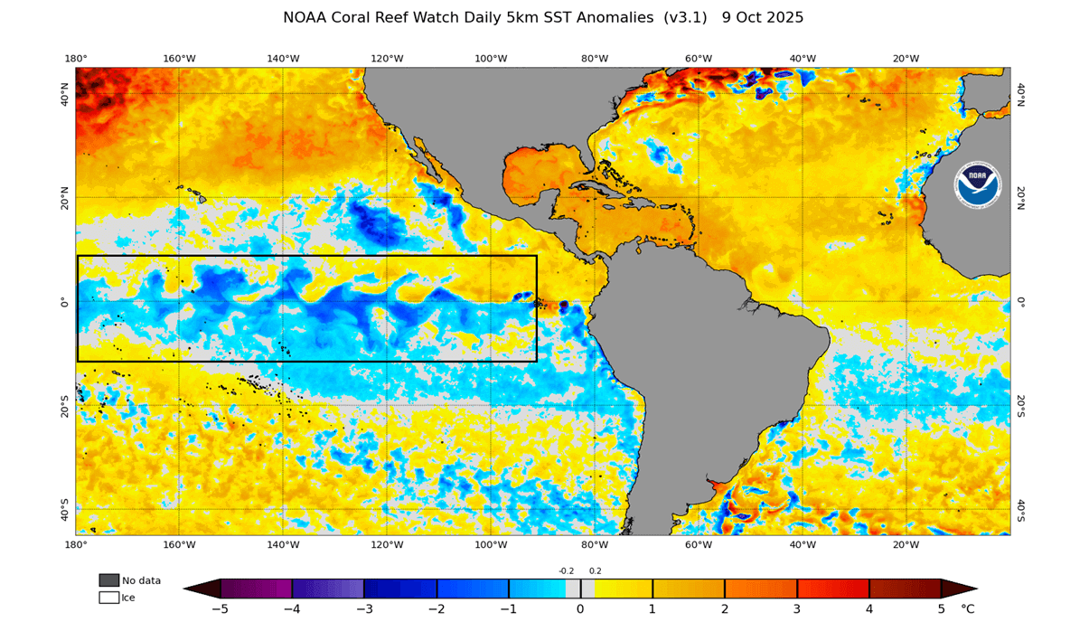
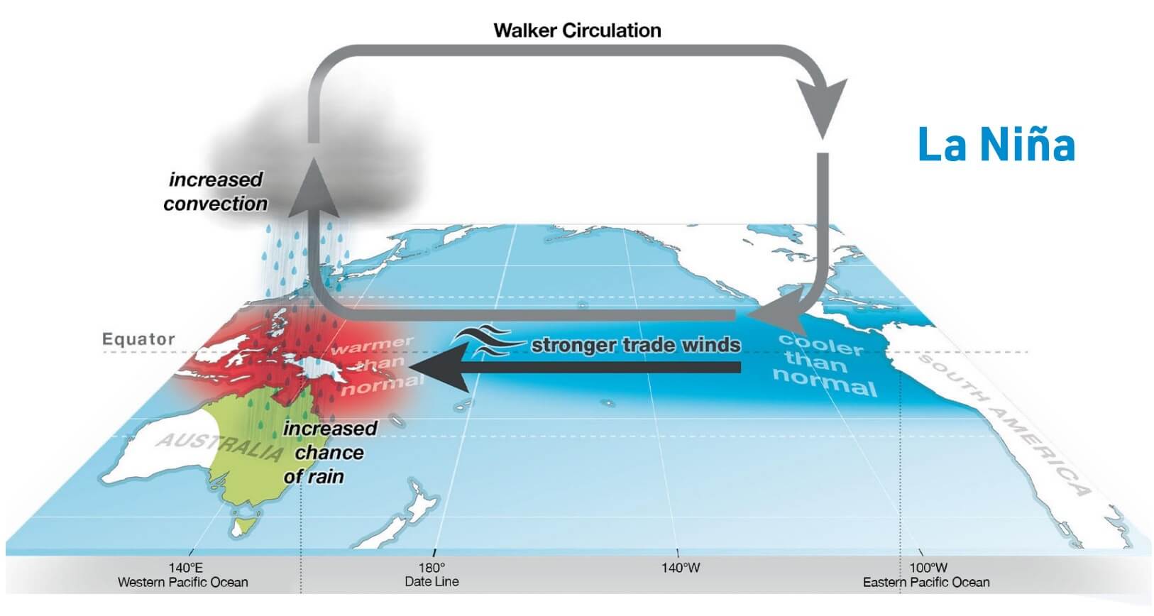
NOAA has issued a La Nina advisory. A La Nina occurs where there is cooler than average water temps. along the equatorial Pacific between S. America & Australia. Like El Nino, there can be global weather impacts in addition to potential impacts across Northeast Florida & Southeast Georgia which can include a drier winter & spring & steep temp. ranges in the winter that sometimes include significant freezes. These correlations are not necessarily 100% & can vary in intensity. Since forecast models indicate a weak La Nina episode, typical weather correlations may not follow suit or may not be as significant as would be the case in stronger ENSO episodes.


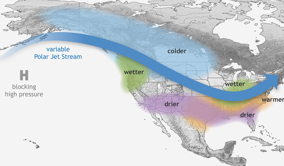
La Nina winters:
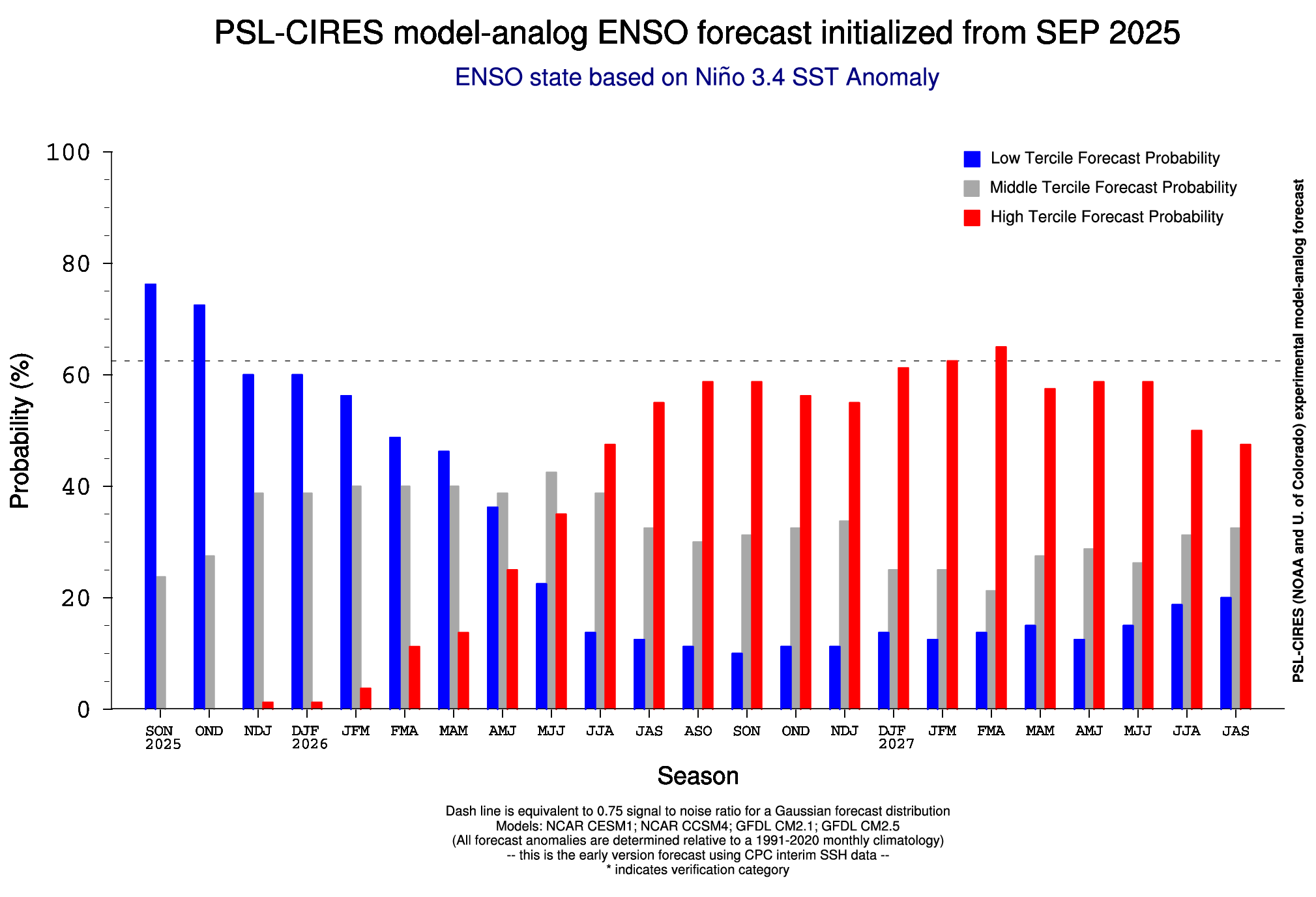
There are hints of a *possible* quick switch to an El Nino (warming of the equatorial Pacific) late next spring into the following summer, but it’s worth noting long range forecast models have been known to struggle with forecasting ENSO (La Nino or El Nino) conditions.
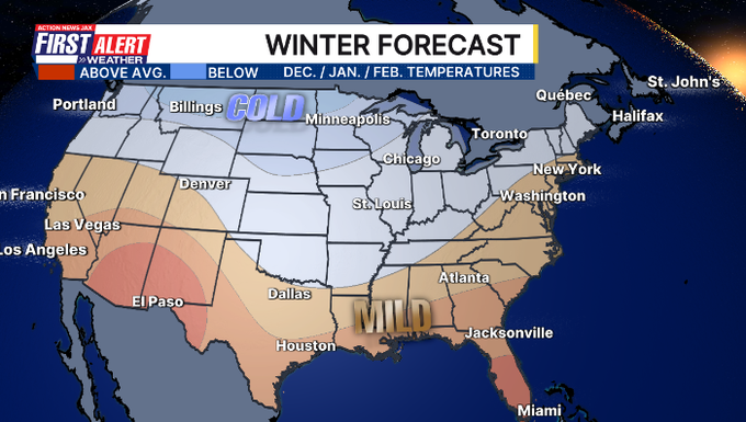
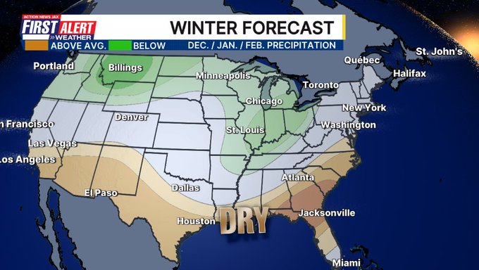
With a La Nina in mind, NOAA has issued their annual outlook for the winter ahead (Dec./Jan./Feb.). Wet (snowy) & colder than avg. across parts of the north & Ohio Valley... dry & milder across the south - including Jax/NE Fl./SE Ga.
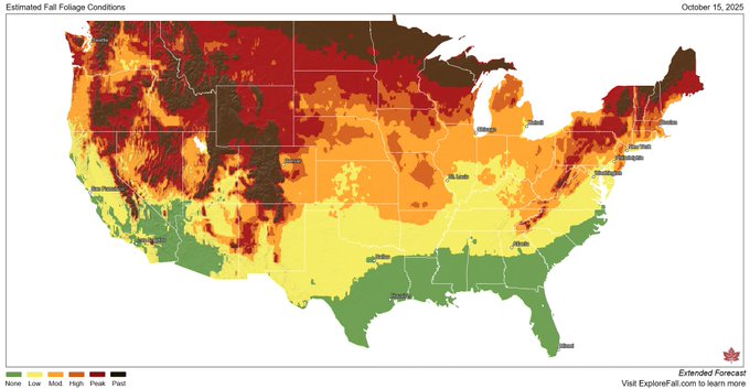
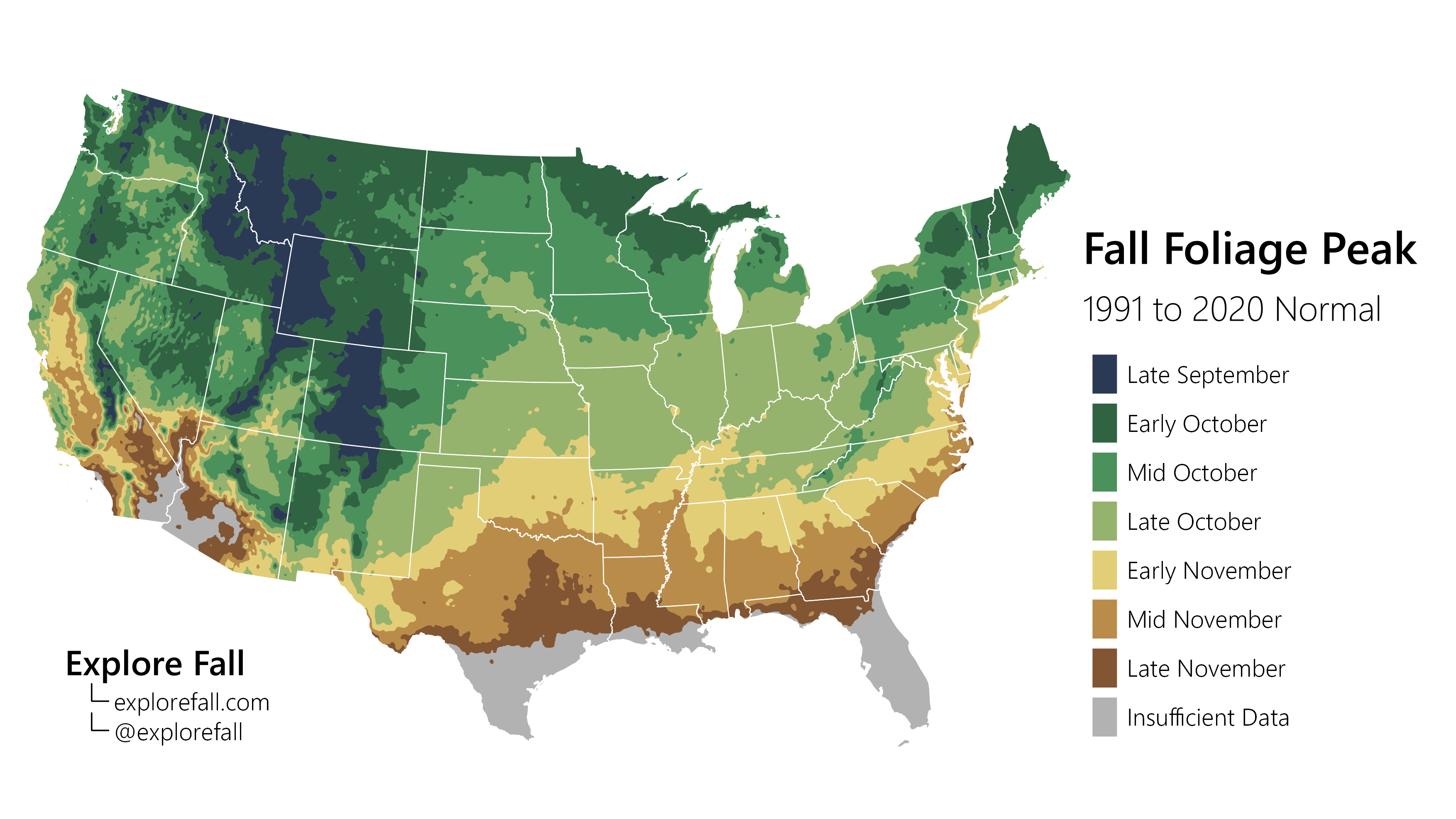
Fall colors are rapidly spreading southward & are even past peak at some northern latitudes & mountainous areas. Our local fall foliage isn’t a whole lot, of course, but becomes noticeable by mid to late Nov. & peaks near Christmas. From “Explore Fall”: