Here’s what the First Alert Weather Team said you can expect for the forecast:
- Sunday was another sunny day but a cool day still
- Jax dropped all the way to 37 with Waycross freezing at 32
- Tonight will be chilly but not as cold as last night
- Clouds increase and temps will fall but only into the 40s
- Onshore winds will keep the beaches in the 50s
- The onshore winds breeze up Monday and stay up all week
- We’ll see a shower late in the day Monday and then Tue/Wed will be showery at times
- The beaches get rough with dangerous conditions in the water and high seas
- High tides will be higher than usual and there will likely be more erosion
- The most rain will fall Tuesday & Wednesday in NE FL south of I-10
- Some spots south of I-10 will see 0.5-1″ of rain
- The days get drier starting on Thursday
- With the onshore wind, a shower or two still can’t be ruled out thru Saturday
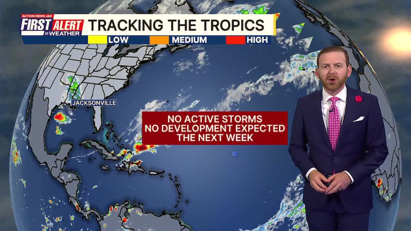
TROPICS
- Nothing
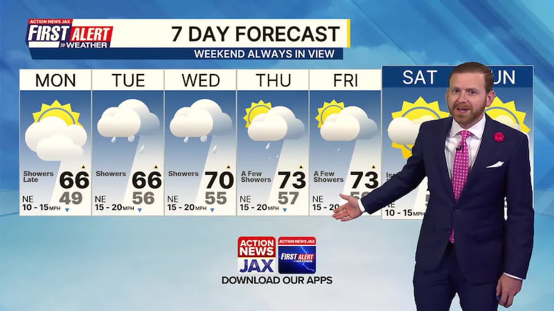
TONIGHT: Partly Cloudy & Chilly. Low: 49
TOMORROW: Partly to Mostly Cloudy. Showers Late. High: 66
TUE: Cloudy & Breezy with Showers. 56/66
WED: Cloudy with Showers. 55/70
THU: Partly Cloudy, A Few Showers. 57/73
FRI: Partly Cloudy, A Few Showers. 59/73
SAT: Partly Sunny, Isolated Shower. 57/73
SUN: Partly Sunny. 56/73
WATCH THE FORECAST | DOWNLOAD THE APPS
Follow Action News Jax Meteorologists on Twitter for updates:
Mike Buresh | Garrett Bedenbaugh | Corey Simma | Trevor Gibbs
ALLERGY TRACKER: See what the pollen counts look like in our area
LISTEN: Mike Buresh ‘All the Weather, All the Time’ Podcast
INTERACTIVE RADAR: Keep track of the rain as it moves through your neighborhood


