JACKSONVILLE, Fla. — The First Alert Weather Team is tracking a drying trend Friday night and through the weekend.
Notes from the meteorologist:
- Lows tonight will be in the 70s with highs over the weekend from the 80s at the beaches to low to mid 90s inland.
- There will still be some isolated to widely scattered, mainly inland afternoon showers & storms, but little if any rain east of I-95 to the coast. Coverage inland will be sparse until about the I-75 corridor, where showers & storms will be more likely – Lake City & Gainesville & points west.
- There will be a somewhat enhanced risk of rip currents at area beaches – swim & surf with a buddy & as close to a lifeguard as possible.
- Sunburn times will be near 10 minutes from 10 am to 4 pm.
INTERACTIVE RADAR: Keep track of the rain as it moves through your neighborhood
ALLERGY TRACKER: See what the pollen counts look like in our area
TROPICS: No areas of concern across the Atlantic Basin. Always more: “Talking the Tropics With Mike”.
First Alert 7-Day Forecast:
- TONIGHT: Becoming mostly clear. Low: 74
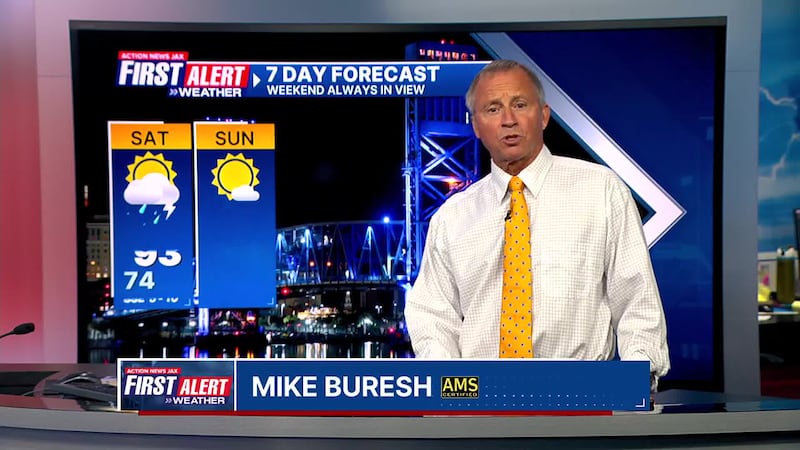
- SATURDAY: Partly sunny with isolated inland afternoon t’storms. High: 93
- SATURDAY NIGHT: Mostly clear. Low: 73
- SUNDAY: Partly sunny with isolated inland afternoon t’storms. High: 93
- MONDAY: Partly sunny with isolated inland showers. 73/91
- TUESDAY: Partly sunny. 72/92
- WEDNESDAY: Partly sunny 73/92
- THURSDAY: Partly sunny with isolated showers. 72/93
- FRIDAY: Partly cloudy with a few afternoon showers & t’storms. 73/92
WATCH THE FORECAST | DOWNLOAD THE APPS
Follow Action News Jax Meteorologists on Twitter for updates:
Mike Buresh | Garrett Bedenbaugh | Corey Simma | Trevor Gibbs
SHARE WITH US: Send us photos of the weather you’re seeing in your area ⬇️