The Action News Jax First Alert Weather Team has declared a First Alert Weather Day due to a flooding risk in our area.
- Tracking scattered showers across NE Florida this morning, leaving wet roads for the AM commute.
- Showers will increase in coverage through the morning.
- A few moderate showers are possible throughout the day.
- A few bands of heavy rain are likely this evening closer to the coast.
- 1-3 inches of rain are possible along the NE Florida coast to I-95 over the next 24 hours.
- Rain totals through Saturday could exceed 4 - 7 inches closer to the coast.
- 2 - 4 inches from I-95 to Highway 301
- 1 - 2 inches from Highway 301 to I-75
- Some flood potential closer to the coast with rounds of heavy rain over the next several days.
- Highs today in the upper 60s to near 70 degrees.
- Breezy onshore winds linger for a few days.
- Rough beach/ocean conditions set up and persist for this week.
WATCH THE FORECAST | DOWNLOAD THE APPS
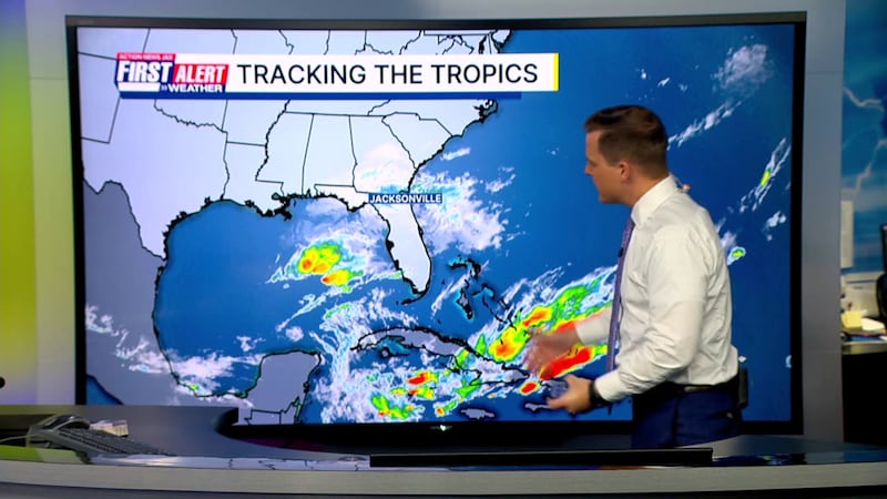
TROPICS:
- No areas of concern.
- Hurricane season ends November 30th.
Follow Action News Jax Meteorologists on Twitter for updates:
Mike Buresh | Garrett Bedenbaugh | Corey Simma | Trevor Gibbs
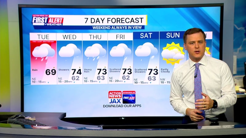
TODAY: Cloudy with scattered showers. HIGH: 69
TONIGHT: Cloudy with showers, a few heavy closer to the coast. LOW: 56
WEDNESDAY: Cloudy with scattered rain. 62/74
THURSDAY: Mostly cloudy with scattered showers. 63/73
FRIDAY: Mostly cloudy with scattered showers. 62/73
SATURDAY: Mostly cloudy with scattered showers. 63/73
SUNDAY: Partly cloudy. 59/76
MONDAY: Mostly sunny. 57/75
ALLERGY TRACKER: See what the pollen counts look like in our area
LISTEN: Mike Buresh ‘All the Weather, All the Time’ Podcast
INTERACTIVE RADAR: Keep track of the rain as it moves through your neighborhood


