JACKSONVILLE, Fla. — Here’s what the First Alert Weather Team said you can expect for the First Alert Weather forecast:
- Yep, it’s hot again today
- Saturday was the hottest day of the year at 99 degrees
- Sunday hit 98 degrees with a Heat Advisory until 6 PM area-wide
- Monday will be very hot again - temps will once again peak between 95-100
- A Heat Advisory may be issued as feels like temps will be back on the order of 105-110
- Showers & storms really pick up though, Monday afternoon & evening
- Offshore winds will keep the beaches in the threat area for storms
- Tuesday through Thursday of this week look wet at times
- Keep the umbrellas handy
- Rain chances decrease somewhat into next weekend
- Temps look to increase with less rain & storms around
WATCH THE FORECAST | DOWNLOAD THE APPS
Follow Action News Jax Meteorologists on Twitter for updates:
Mike Buresh | Garrett Bedenbaugh | Corey Simma | Trevor Gibbs
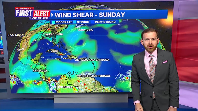
TROPICS
- A tropical wave is tracking into the Western Atlantic
- This thing is way out there - it’s more than 1000 miles from the Lesser Antilles/Caribbean
- This wave may try to develop over the next day or two
- Conditions get more hostile for long-term development
- We’ll track it...but this system does not look to be a concern
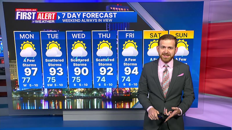
Take a look at the First Alert Weather 7-day forecast:
- TONIGHT: Clear & Warm. Low: 77
- TOMORROW: Partly Sunny & Very Hot. A Few Afternoon Storms. High: 97
- TUE: Partly Cloudy, Scattered Storms. 75/93
- WED: Scattered Showers & Storms. 75/90
- THU: Scattered Showers & Storms. 74/92
- FRI: Partly Cloudy, A Few Storms. 74/94
- SAT: Partly Sunny, A Few Storms. 74/93
- SUN: Partly Cloudy, A Few Storms. 75/95
SHARE WITH US: Send us photos of the weather you’re seeing in your area ⬇️